LA River Path
Closing a gap to deliver connected active transportation between the Valley, Downtown LA and Long Beach.


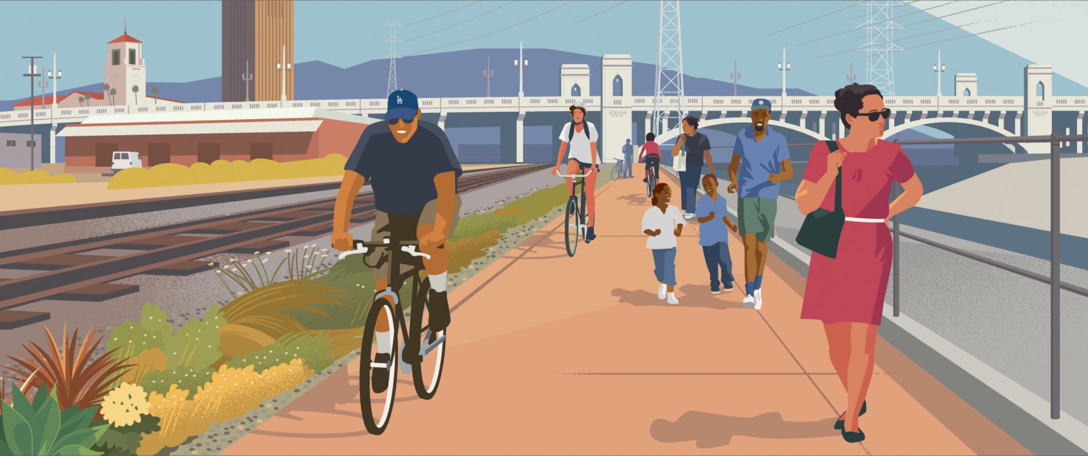
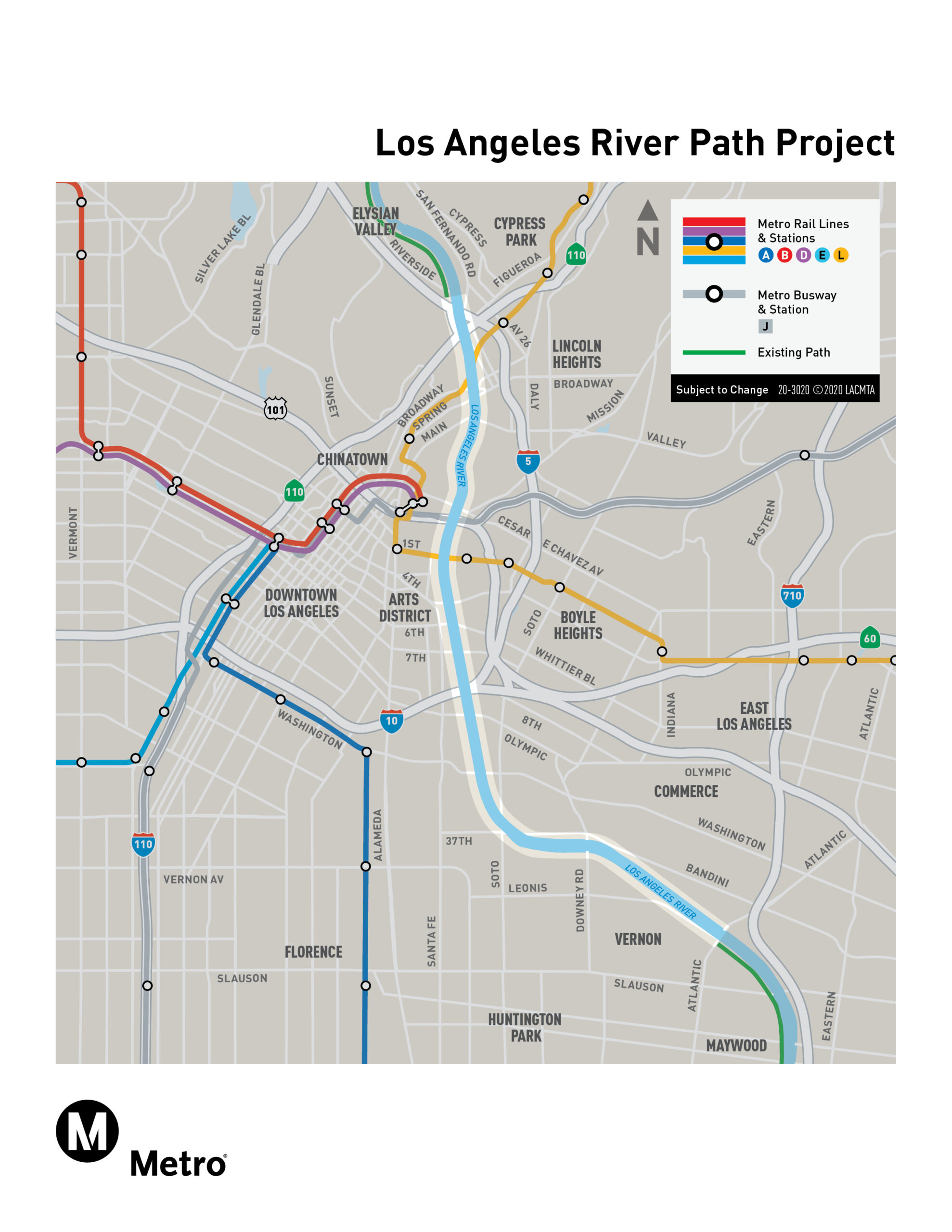
Metro’s LA River Path Project will complete an eight-mile active transportation corridor between Elysian Valley and the City of Maywood, closing the largest remaining gap in the LA River Path network. The new path will provide a continuous, grade-separated space for walking, biking, and rolling—connecting the San Fernando Valley to Long Beach. The project will serve communities including Elysian Valley, Cypress Park, Lincoln Heights, Chinatown, Downtown LA, the Arts District, Boyle Heights, Vernon, and Maywood—many of which have lacked access to safe and convenient active transportation. Benefits include: safer routes for non-drivers of all ages and abilities; access to jobs, schools, parks and healthcare facilities; reduced vehicle trips and emissions; equity-focused investment in underserved neighborhoods. The project is funded by Measure M with support from regional and local partners. Construction is anticipated to begin before 2027.

About the Project
Understand the Project
Get an in-depth look at the LA River Path project through this short video. Learn how different path options connect communities and respond to public feedback.
Explore the Alternatives
Discover the path types, traverses and crossings, as well as design inspiration for the proposed pathway.
Connect with Metro
Stay informed by attending an upcoming community meeting, virtually or in-person.
Frequently Asked Questions
Metro is evaluating three design alternatives for the LA River Path. Each option includes a combination of elevated, top-of-bank, and incised paths with different river crossings and access point locations. These alternatives were shaped by community input and will be studied further during the environmental review. To explore the options, visit the project’s Conceptual Design Report.
Active transportation includes walking, biking, and rolling—human-powered ways of getting around. These modes improve public health, reduce traffic and pollution, and provide affordable, low-carbon options to reach work, school, parks and transit. This is especially important in communities with limited access to cars. Learn more in Metro’s Active Transportation Strategic Plan.
The LA River Path needs to go through environmental review before it can move forward. This process evaluates potential impacts, gathers public input and helps identify a preferred alternative. It includes technical studies, community engagement and opportunities for public feedback. Learn more at metro.net/about/environmental-review.
Metro is assessing how the project could affect air quality, water resources, noise, local plants and wildlife, traffic and nearby neighborhoods. The goal is to understand and reduce any impacts before construction begins.
Access points are entrances and exits to the path. They connect surrounding neighborhoods, parks, and transit lines to the LA River Path. More access points make it easier and safer for people to integrate the path into their daily routines.
Events
Get Involved
Help shape this project for good. We want to hear from you:

